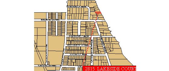
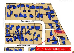
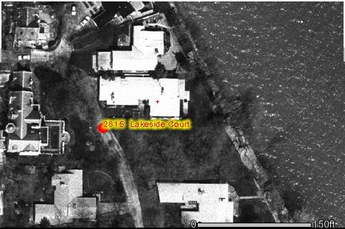
Maps of Evanston including aerial photos and zoning are available from the city of Evanston. The rough location is shown here.
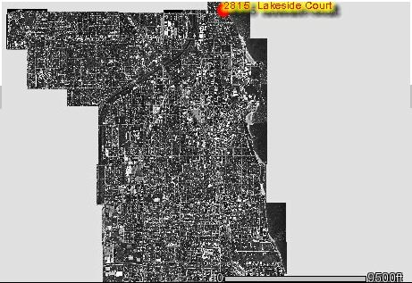
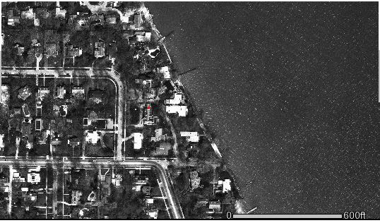
Photos taken in 1996 can be of the entire city or down to a few feet:

version of December 28, 2001
As is true of all web pages, this is part of a constantly growing set of pages about Lakeside Court. If working off of a printed copy, it is useful to look at the date of the last version. As changes are added to the various pages on, the "What's New" page will track changes.
Prepared by William Revelle. Comments to W. Revelle